First Sky Art over North West Tasmania by Gary McArthur.
More...
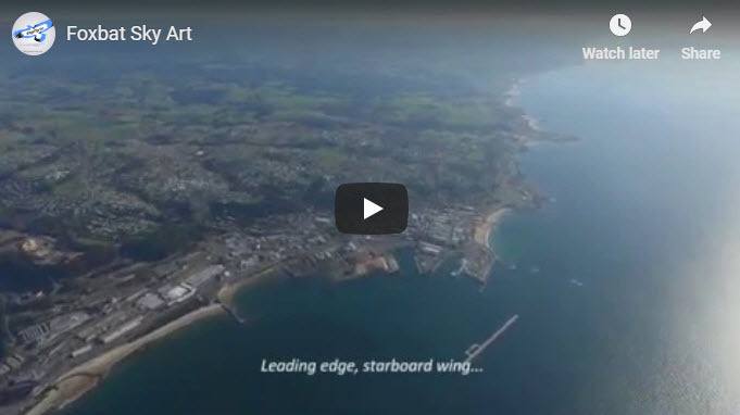
We thought this was a fun exercise and wanted to share this novel idea for a flight plan with you. You can view actual cockpit footage of the flight (Piloted by Gary) in the video below...
The Route was planned by digitising the outline of a Foxbat Aircraft (plan view) as found on the foxbat manufacturer's Aeroprakt website
Gary then printed the outline of the Foxbat on film and stuck it to his PC monitor - so that he could trace the outline in Google Earth at an appropriate scale.
The Google Earth path was then converted to a .gpx file of waypoints which loaded straight into the Dynon avionics system on-board Gary's Foxbat aircraft.
Gary then flew the route with the Dynon autopilot holding the altitude, while he maintained the track as best he could to honour the waypoints shown on the Dynon moving map.
Below is a video of the "Wandering Foxbat - aka Gary McArthur
Details of the flight:
Date: 18 May 2019
Departure Time: 13:45
Flight Planned Distance: 76nm
Flight Time: 52 minutes
Wind: SSW 15-20kts
Altitude: Started at 4100 feet to keep away from traffic, but later climbed to 4500 feet to stay above scattered cloud
Art wing span: 40.2km
Compared to actual foxbat wingspan of 9.55 m - a magnification factor of 4213

